LIDAR, SURVEYING
LIDAR, photogrammetry, RGB mapping flights missions with RTK and GNSS receivers, Ground Control Points, PPK and processing of deliverables according to your specific needs

FAST. PRECISE. REPETITIVE
Forestry, Land Survey, BIM, Progress Management
FORESTRY, LAND SURVEY
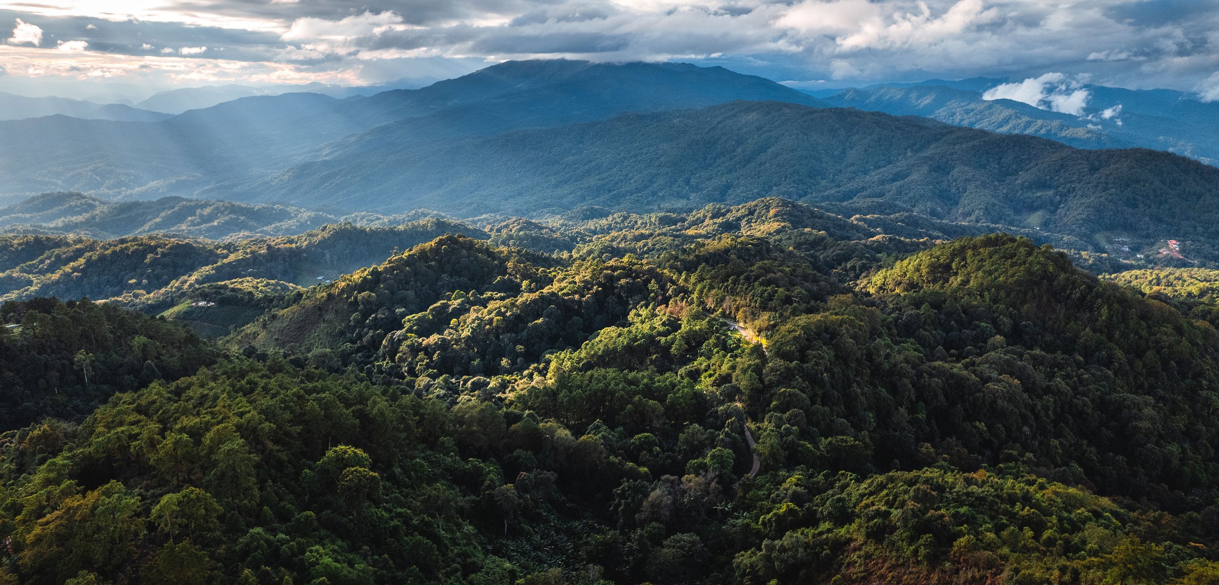
Using the Matrice 350 RTK, outfitted with the Zenmuse L2 LiDAR, we create highly detailed 3D point cloud models of forests, enabling precise inventory management. The Zenmuse L2's capability of 5 returns and a smaller spot size allows it to penetrate the forest canopy, revealing more information about the terrain and the forest's structure. We utilize the
application DJI Terra to produce both photogrammetry and point cloud models, as well as classify the point cloud data for advanced forest analysis. Quickly generate accurate
2D and 3D models. Cover more ground, improve safety, and reduce costs.
-
Significantly reduce costs and save time by using affordable UAS solutions that automate data collection and processing.
-
Generate precise digital models of forests, facilitating effective management of forest inventories. Keep digital records that can be easily used for regular land cover comparisons, so you can more easily and dynamically monitor changes.
-
We cover 3 km² per flight, collecting both LiDAR and photogrammetry data and achieve a vertical accuracy of 5 cm or less, ideal for densely vegetated areas.
-
Visualize results with accurate, high-resolution and detailed maps, Point Clouds, 3D models, Digital Elevation Models (DEM) and Digital Surface Models (DSM) by combining photogrammetry and LiDAR.
-
Quickly reach and scan areas of interest without being hindered by terrain or other conditions. Reduce personnel risk in hazardous environments with swiftly aerial data collection.
BIM, PROGRESS MANAGEMENT
Collect accurate information of your assets for Building Information Modeling (BIM) processes with efficient and precise data capture.
Track construction progress more efficiently and with streamlined team collaboration using highly accurate drone-generated visual data.
-
Generate highly-accurate 2D and 3D models, DSM, DEM, Point Clouds, and Orthomosaic Images of the site for visual design-reality comparison, monitor progress during construction and easily compare with historical data.
-
Stay on budget by collecting accurate data faster and more frequent.
-
Elevated efficiency with simple data collection workflow.
-
Easily share drone data between teams for more informed decision-making. Upload and analyze the collected data to DJI FlightHub 2 or your preferred Construction Management Software to enhance cross-team collaboration.
PROCESSING
We send you the .RAW images straight out of camera or process for you a 2D orthomosaic, .LAS Pointcloud, 3D model, DEM, DTM of your asset with DJI Terra and Metashape.
We also provide you your own online customized space on the Birdi or Equator platforms where you can visualize your deliverables and make your own measurements.
THE BEST GEAR FOR THE JOB
As experienced pilots we love to work with the most reliable gear in the industry to provide the best deliverables, guarantee safety, and always complete the missions quickly.
-

DRONE - DJI MATRICE 350 RTK
-55-Min Max Flight Time
-6-Directional Sensing & Positioning
-Night-Vision FPV Camera
-Multi-Payload Support
-IP55 Protection Rating
-20km transmission distance
-Hot Swapping Dual Battery System
-Intelligent battery Station for Continuous Work -

DRONE - DJI MAVIC 3 ENTERPRISE
45-Min Max Flight Time
-Mechanical Shutter
-Focal Length: 162mm, 12MP; 24mm, 48MP
-56× Zoom Camera
-640 × 512 px Thermal Camera, DFOV: 61°, Focal Length: 40mm
-RTK Module for Centimeter-Level Precision
-DJI O3 Enterprise Transmission -

CAMERA - DJI L2 SENSOR
-LiDAR high-accuracy IMU system
-4/3 CMOS RGB mapping camera
-Vertical Accuracy: 4 cm; Horizontal Accuracy: 5 cm
-2.5 km2 covered in a single flight
-Superior penetration with Smaller Laser Spots, Denser Point Clouds
-250m @10% reflectivity, 100klx 450m @50% reflectivity, 0klx
-One-Click Processing with DJI Terra and -

GNSS RECEIVER - DJI D-RTK 2
-High Precision GNSS Mobile Station
-Supports GPS, GLONASS, Beidou, and GALILEO signals
-Uninterrupted, Stable data Transmission
-Real-Time Differential Corrections
-Centimeter-Level Positioning Data
-Communication via 4G, OcuSync, WiFi, and LAN


